AGS Geoportal

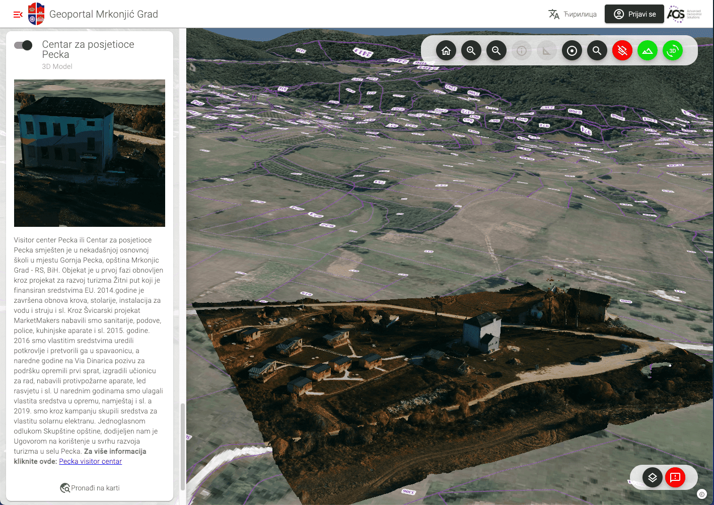
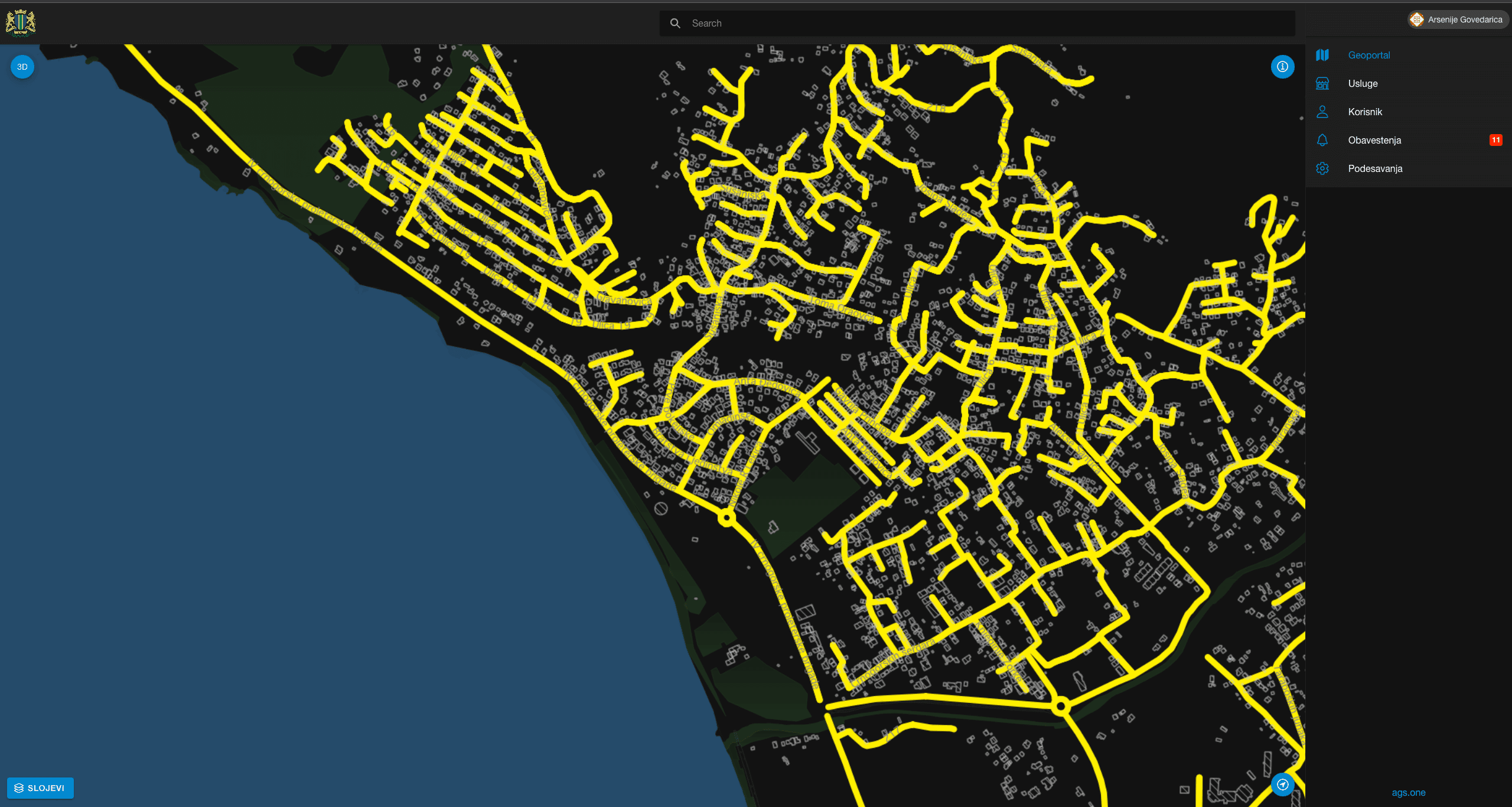
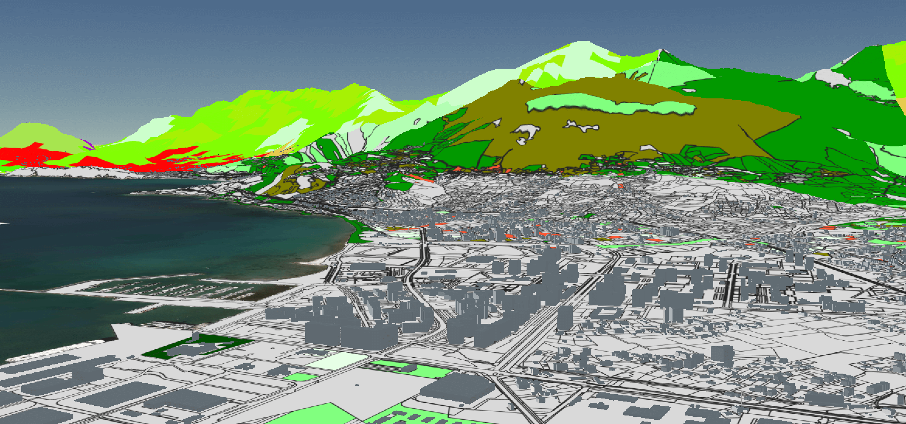
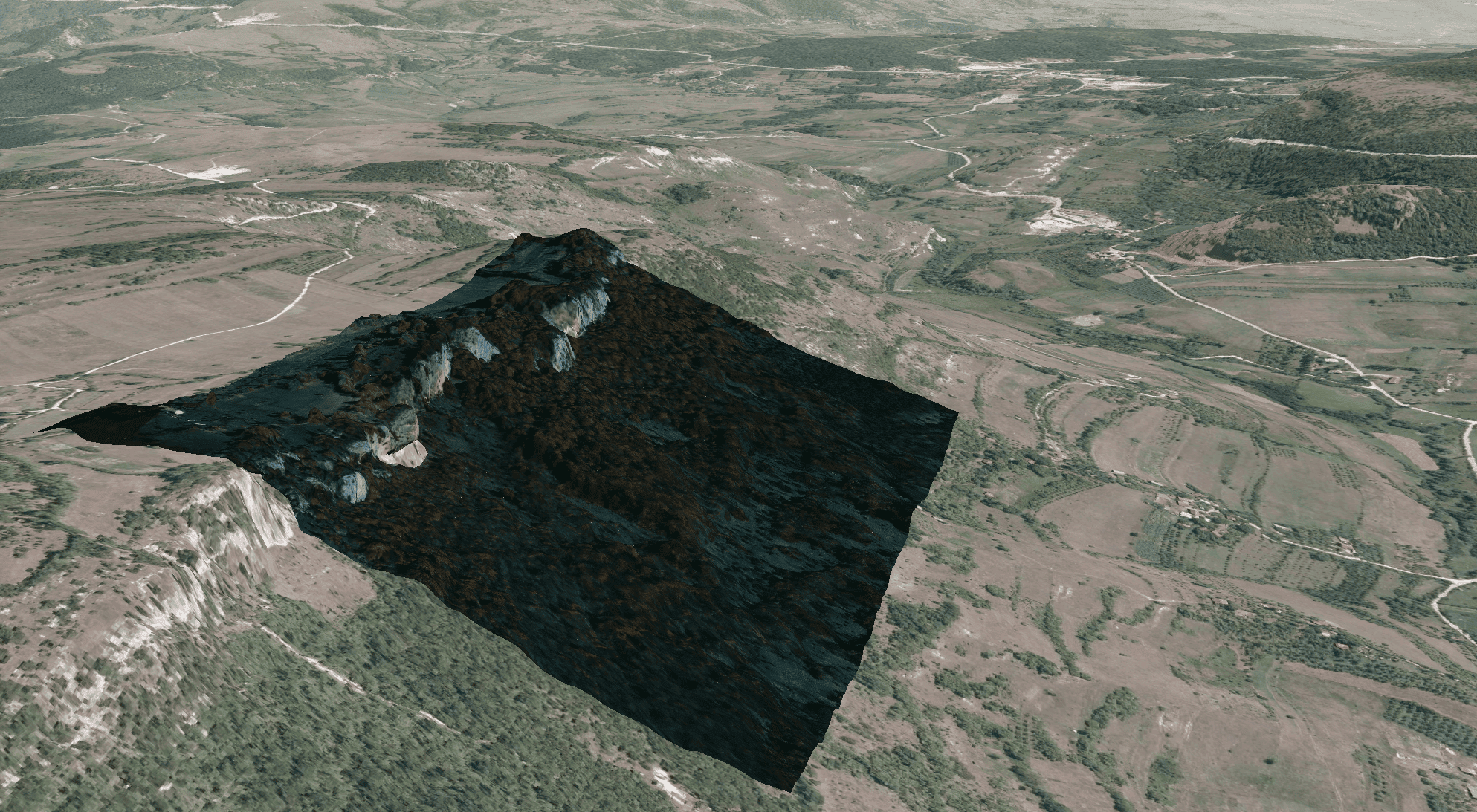
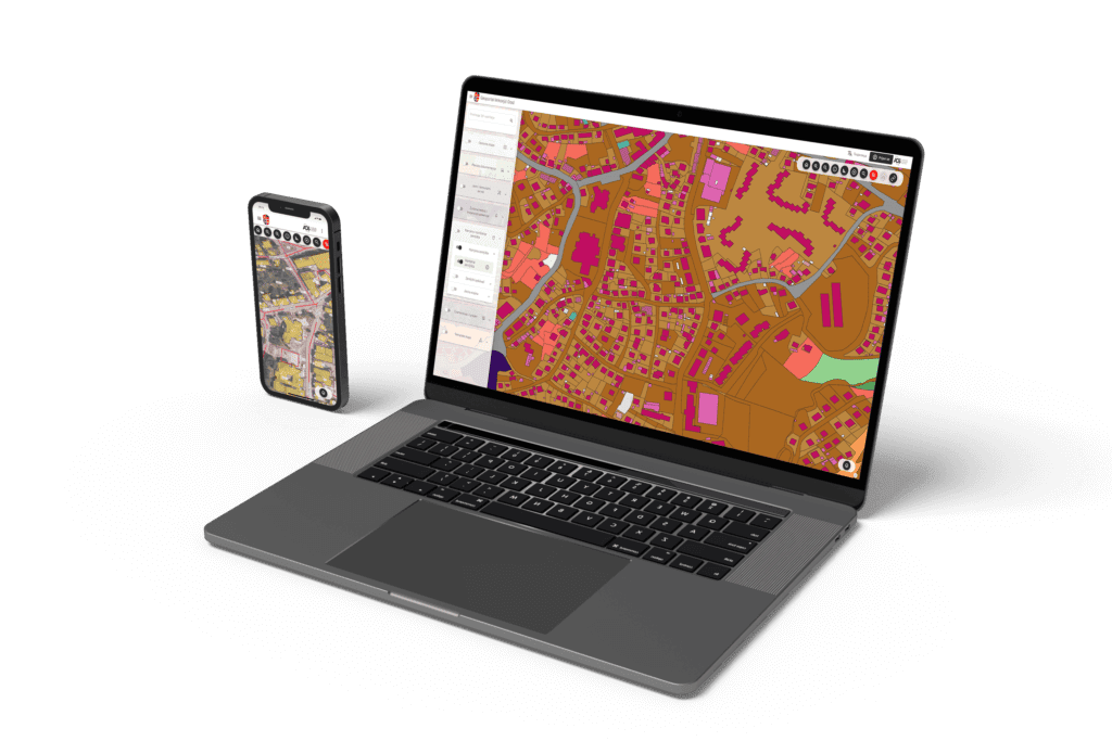
AGS geoportal is a service-oriented modular software solution based on ISO standards, OGC recommendations and geospatial data infrastructure. The solution includes a number of specialized software components tailored to the needs of geoportal users, especially local government users developed over the AGS core module. The AGS software solution is based on the recommendations given by the European Commission and which represent the reform of public administration according to the recommendations of the European Union. The solution is completely in line with the recommendations and the idea of working on the process of digitalization of public administration, as well as the transformation of city administration services into the concept of a smart city. The solution especially contributes to the support in the work of the department for housing and communal affairs through cadastral records, communal services and spatial planning documentation, as well as the promotion of tourist potentials and cultural and historical heritage. Such solutions contribute to the openness of public administration towards citizens and the way of sharing information with them.
English
“>
- INSPIRE Profile
-
CityGML model supported and the publication of beam models
- publishing 3D photorelatic and UAV models
- optimized display performance

Optimization for Mobile Devices
AGS GEOPORTAL is carefully optimized to deliver a consistently outstanding user experience across all devices. Whether you're using a computer, tablet or smartphone, our app adapts to the size of the screen and the technical capabilities of the device. All elements are tactically positioned to allow easy scrolling, zooming and interaction with the map, without compromising on functionality.
3D View
Providing a unique experience, AGS GEOPORTAL brings three-dimensional (3D) data representation. This technology allows users to explore space from a depth perspective, enabling a better understanding of the relationships between objects. Thanks to the 3D view, urban planners can better visualize planned buildings compared to the existing environment, ecology researchers can track changes in relief and field characteristics, and business analysts can get a deeper insight into the spatial distribution of resources.
Continuous Improvement
Our team is dedicated to constantly improving the AGS GEOPORTAL application to ensure optimal performance, richer capabilities and a consistent user experience. Each upgrade brings new functionalities, analysis tools and technological innovations to keep users always one step ahead.
Examples of our solutions
English

Geoportal Mrkonjic Grad
Geoprtal of the Municipality of Mrkonjić grad with published municipal geospatial data
- Over 60 processed substrates
- 3D LOD2 CityGML Model
- 3D models of representative locations
- Public services
Geoportal Bar

Geoprtal of the Municipality of Bar with published municipal geospatial data
- 3D model of old town of Bar and tourist potentials
- Public property
- Spatial plans
- Real-time tax collection visualization


Our clients and partners


